#3 GRASSGUARD

TECH PROFILE
SMART
SMART FARMING FOR LABOUR SUPPORT
HW
Hardware
SW
Software

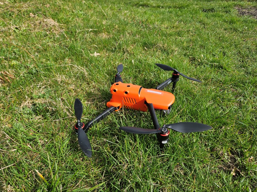
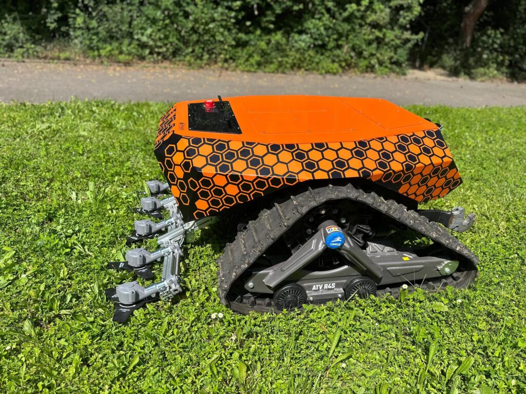
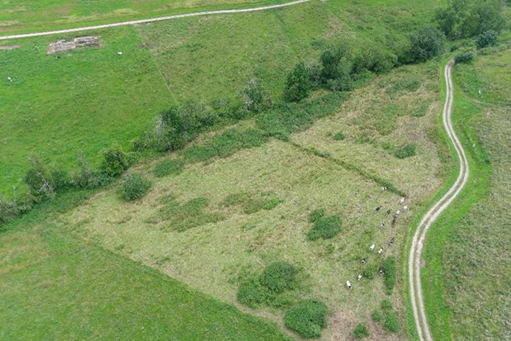
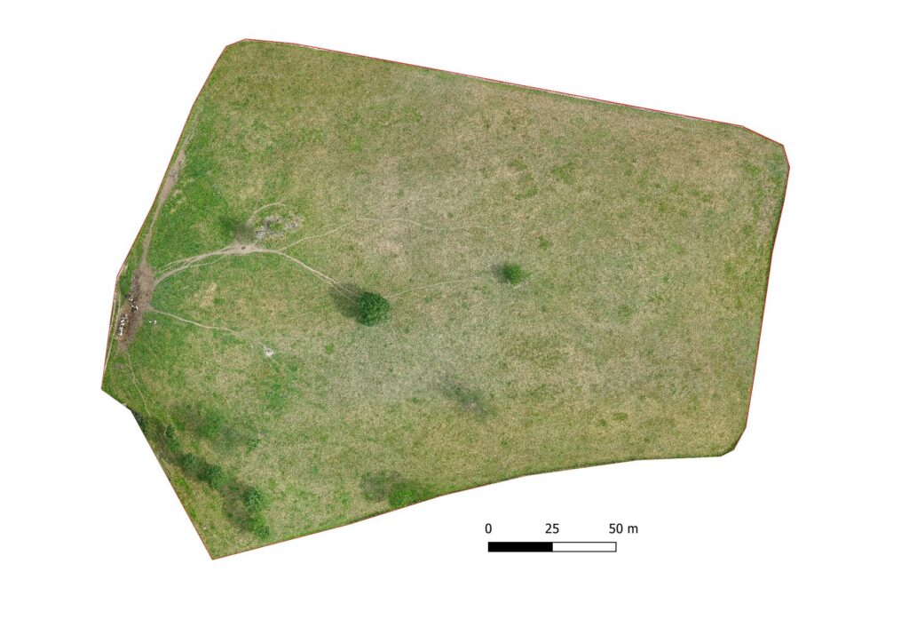
GrassGuard is a drone designed to automate the operation of managing pastures for cattle grazing. It uses a flying drone to capture images of the pasture, creates a georeferenced map, detects ungrazed areas with weeds, and removes them with a land drone. The technology is semi-autonomous: the flying drone takes off, photographs the area, and returns automatically to the starting point.
KEY FEATURES & INNOVATION
- Aerial imaging and mapping: Flying drones capture RGB images of the pastures, which are then processed into a geographically oriented orthophotography using Pix4D software.
- Weed detection and mapping: AI algorithms analyse the orthophotos to identify ungrazed areas.
- Semi-autonomous operations: The flying drone operates autonomously, and the land drone follows a route plan based on the georeferenced map to remove the weeds.

BENEFITS
- Efficient pasture management: It automates the task of mowing and mulching weeds, saving time and labor for farmers.
- Easy to use: Even farmers with minimal drone experience can use it thanks to intuitive controls and a simple setup. Efforts are focused on making the image processing phase as simple as possible, overcoming the main barrier to using the technology.
ACCESSIBILITY
GrassGuard technology is built to be easily accessible to farmers, even those with minimal experience. The use of low-cost RGB cameras for capturing aerial images ensures that the technology is also affordable.